

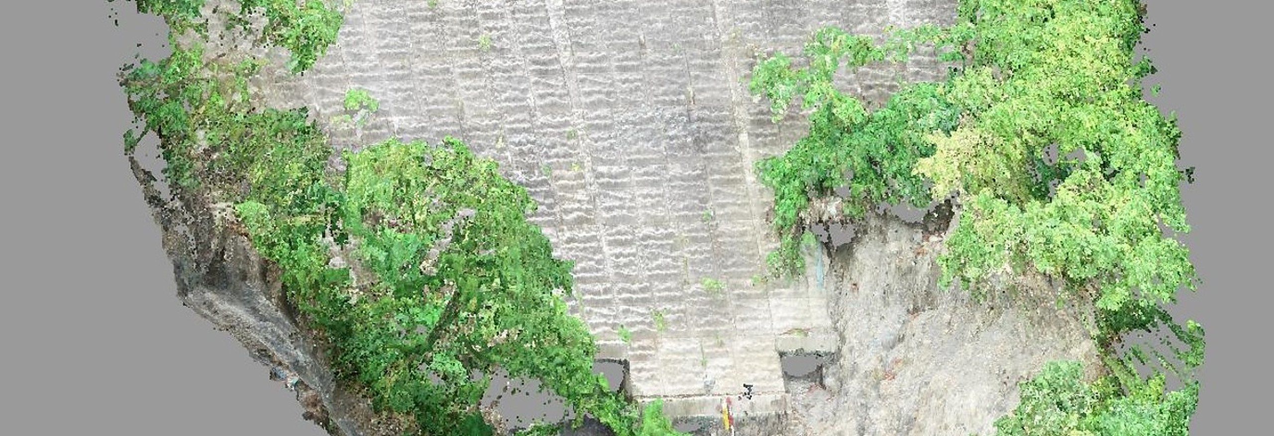
The geological survey industry is precisely the one that needs digital transformation (DX).
We will provide our clients with even higher quality service than before.
We provide easy-to-understand information to the local community.
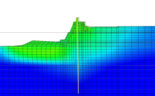
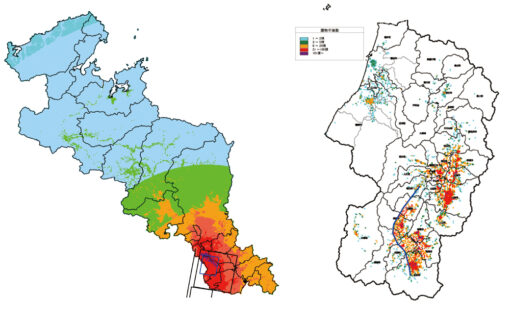
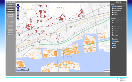
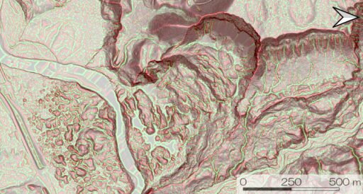
For us, geological DX is an initiative that introduces the latest digital technologies into geological surveys, enabling 3D representations and digital twins that connect the surface and underground, which were previously difficult to achieve, and providing more reliable information to stakeholders in a more user-friendly and understandable format. We constantly explore and introduce cutting-edge technologies, and approach our work with the mission of being, so to speak, a "general practitioner" for geology and ground conditions. The 3D model in the link below uses data from Project PLATEAU (3D city model), the Ministry of Land, Infrastructure, Transport and Tourism's National Land Numerical Information (sediment disaster warning areas), the Tokyo Metropolitan Government Digital Twin Realization Project (DEM), and the Tokyo Metropolitan Government Bureau of Construction (boring).
View 3D models (opens in an external site)