



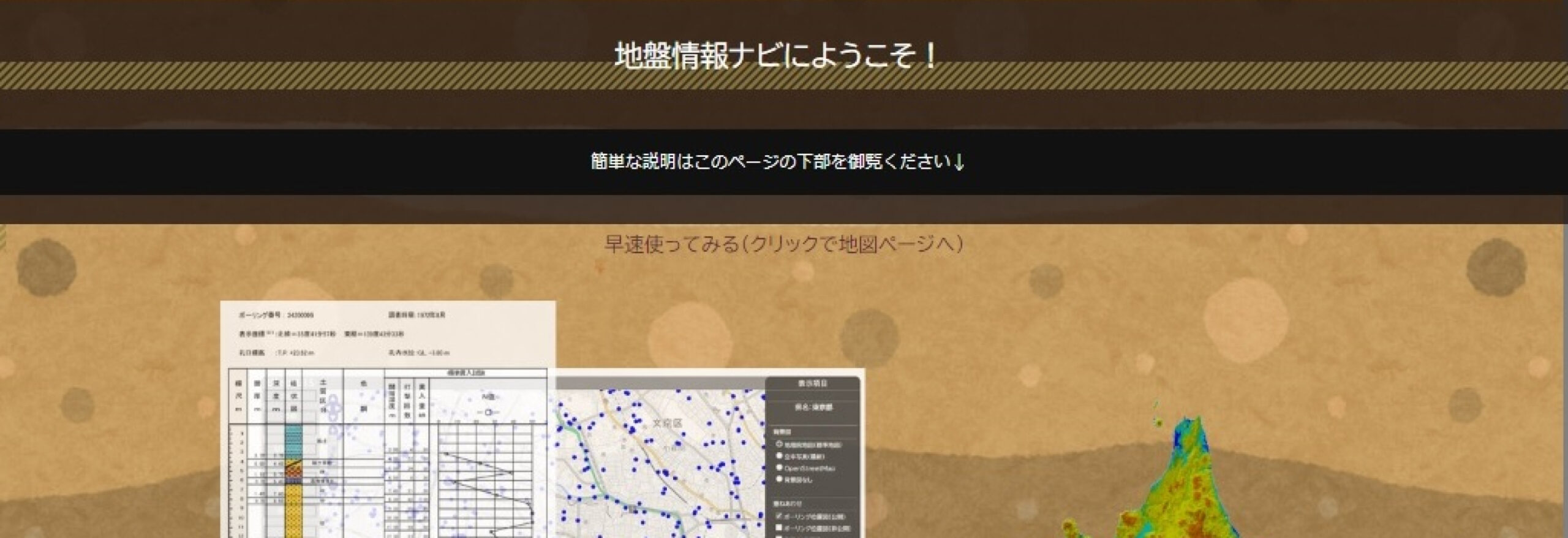
Free distribution service of ground information containing 35 boring data points from across Japan.
"Ground Information Navi," a free ground information distribution service, is a web-GIS system that overlays ground information, disaster prediction information, and aerial photographs onto maps on the internet, allowing users to easily use and search for information. It distributes approximately 29 boring data points published by the national and local governments, as well as liquefaction risk maps, sediment disaster risk maps, and land condition maps. By combining the boring locations with land condition maps and seamless geological maps, past topography can be visualized.
